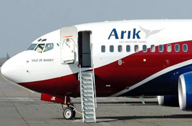
Tourism destinations in Middle-Belt
Nasarawa State – ‘So close to the heart’

Among the six states created in 1996 by the military regime of late General Sani Abacha, Nasarawa was one of them. The state was carved out of the old Plateau State and ever since it was created, the state has grown to become one of the top tourist states with its natural inhabitants.
Nasarawa state has a population of a little less than 2 million very hospitable and culturally rich people with diverse range of ethnic groups, include Afo, Alago, Baribari, Bassa, Egbira, Fulani, Gade, Gwandara, Hausa as well as Jukun, Kanuri, Mada, Ninzom Tiv and others.
Situated in north-central geopolitical zone of Nigeria with 13 local governments including Awe, Akwanga, Doma, Karu, Keana, Keffi, Lafia, Nasarawa, Nasarawa-Eggon, Obi amongst other and farming is the main occupation of the people.
Benue state – “Food basket of the nation”

With a land mass of 32,518sqkm, Benue State lies within the lower river Benue in the middle belt region of Nigeria.
Located in north-central geopolitical zone of Nigeria, Benue State was created out of the old Benue-Plateau State in 1976 with its headquarter is Makurdi.
The state is divided into twenty three local government areas which include Ado, Agatu, Apa, Buruku, Gboko, Guma, Gwer-East, Gwer-West, Katsina-Ala, Konshisha, Kwande, Logo, Makurdi, Obi, Ogbadibo, Ohimini, Oju, Okpokwu, Otukpo, Tarka, Ukum, Ushongo Vandeikya.
The Tiv are the dominant ethnic group, occupying 14 local government areas, while the Idoma and Igede occupy the remaining nine local government areas.
Most of the people are farmers while the inhabitants of the riverine areas engage in fishing as their primary occupation. The people of the state are famous for their cheerful and hospitable disposition as well as rich cultural heritage.
Apparently, old Plateau Benue State was formed about 39 years ago in which the Igala and Bassa people were brought from Kwara State’ and the state derives its name from River Benue.
However, the state boundaries with five other states namely: Nassarawa to the north, Taraba to the east, Cross-River to the south, Enugu to the south-west and Kogi to the west. The state also shares a common boundary with the Republic of Cameroun on the south-east.
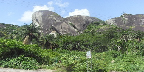
Kogi State – “Confluence State”

Historically, Kogi state was formed in 1991 from parts of Kwara State and Benue State. At present, the state has 21 LGA’s with three major ethnic groups including Igala, Ebira and Okun Yoruba, as well as, other minor groups such as Bassa Komo, Kupa, Ogori-Magongo, Nupe, Bassa Komo, Gwari among others.
It is situated in the middle-belt region of Nigeria with its capital, Lokoja, the confluence of River Benue and River Niger made the state popular though.
There are three dominant languages in the state which include Igala, Nupe and Yoruba but they mainly farmers. Kogi State is bounded to the east by Nassarawa State, to the south by Enugu, Anambra and Edo States, to the west by Ondo, Ekiti and Kwara States and to the north by Niger.
.